


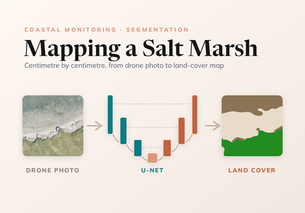
Mapping a Salt Marsh, Centimetre by Centimetre
How we trained a U-Net to map land cover on the Wadden Sea coast from drone photos, from ecologists' labels at any level of detail to a seamless map of every survey.
How we trained a U-Net to map land cover on the Wadden Sea coast from drone photos, from ecologists' labels at any level of detail to a seamless map of every survey.
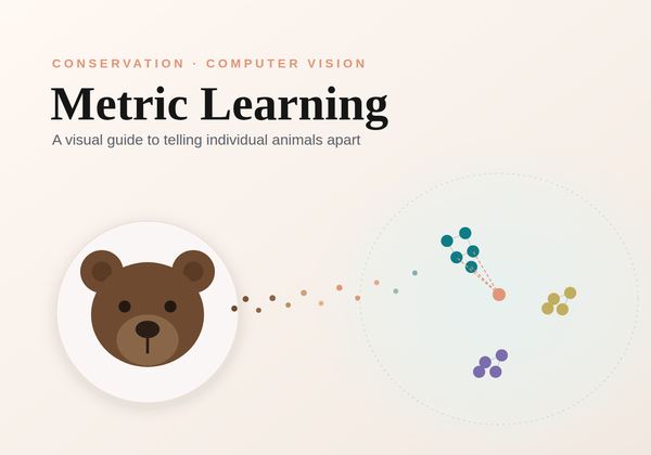
An intuition-first, visual guide to metric learning and how machines learn to tell individual animals apart for conservation re-identification.
How a literature survey, self-contained experiments, and a shared leaderboard turned 28 research papers into a production smoke verifier with 4x fewer false alarms.
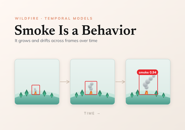
How the temporal smoke verifier works, step by step. Detection boxes become tubes, stabilized crops make motion legible, and a vision transformer plus a tiny temporal head learn that smoke grows and drifts.
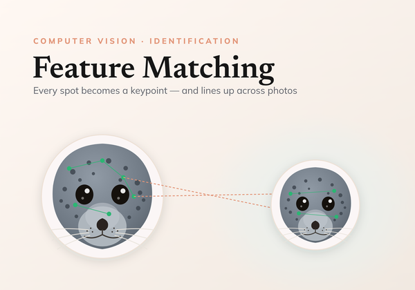
A comprehensive examination of using local feature matching for individual identification.
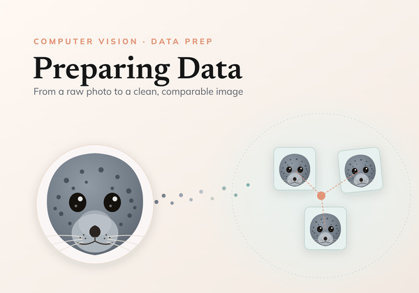
An in-depth look at the common preprocessing stages required to perform identification using computer vision.
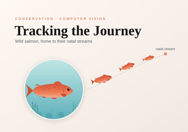
An in-depth look at the systems developed and deployed to track the journey of wild salmon as they return to their natal streams.
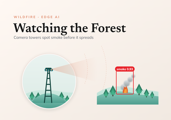
Detecting early forest fires in real time using low powered technology
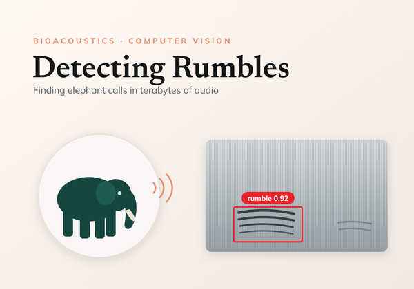
Learn how to leverage audio processing to localize elephant rumbles on terabytes of data.
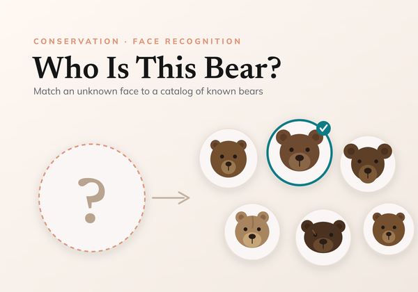
Identify bears with Metric Learning.
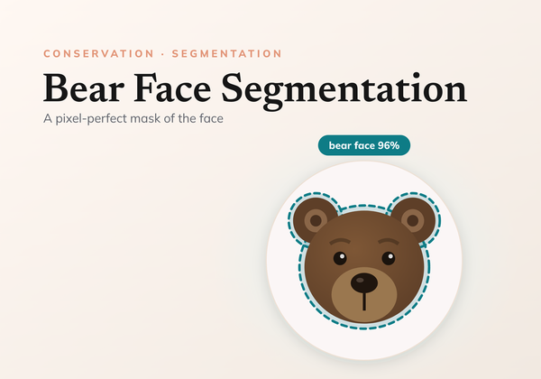
Detecting bears in real time using low-power technology.
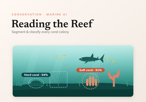
Learn how to successfully train a computer vision model to accurately analyse underwater benthic imagery.
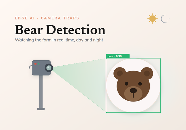
Detecting bears in real time using low-power technology.