


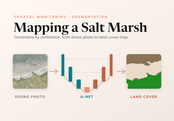
Mapping a Salt Marsh, Centimetre by Centimetre
How we trained a U-Net to map land cover on the Wadden Sea coast from drone photos, from ecologists' labels at any level of detail to a seamless map of every survey.
How we trained a U-Net to map land cover on the Wadden Sea coast from drone photos, from ecologists' labels at any level of detail to a seamless map of every survey.
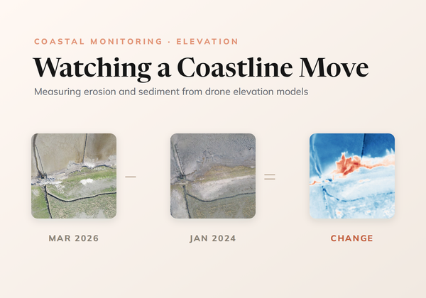
How CODAP measures erosion and sedimentation on the Wadden Sea coast by differencing drone elevation models, cleaning out the noise without losing real change, and reading the result with transects.
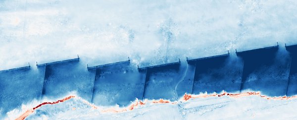
Drone-based monitoring of coastal erosion, sedimentation and land cover change on the Wadden Sea coast, served through an interactive web portal.
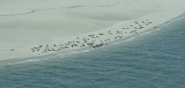
Automated seal population monitoring system using AI to count, classify, and identify individual seals from aerial imagery in the Wadden Sea.
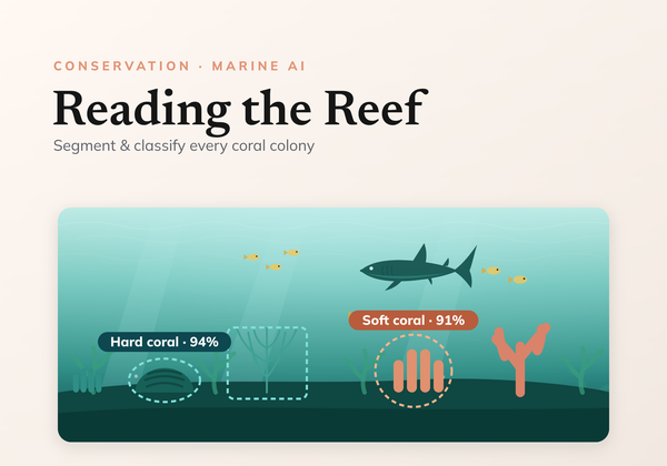
Learn how to successfully train a computer vision model to accurately analyse underwater benthic imagery.
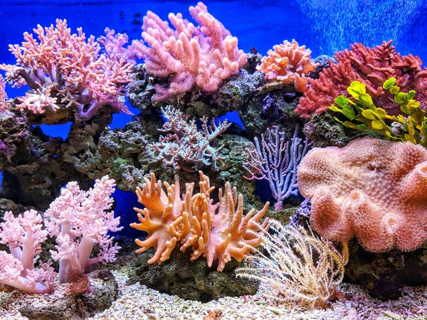
Segmentation of coral reefs in benthic imagery to quantify the long-term growth or decline of coral cover within marine protected areas.