


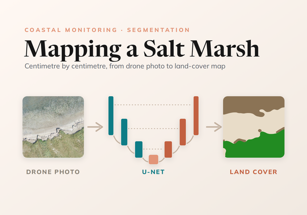
Mapping a Salt Marsh, Centimetre by Centimetre
How we trained a U-Net to map land cover on the Wadden Sea coast from drone photos, from ecologists' labels at any level of detail to a seamless map of every survey.
How we trained a U-Net to map land cover on the Wadden Sea coast from drone photos, from ecologists' labels at any level of detail to a seamless map of every survey.
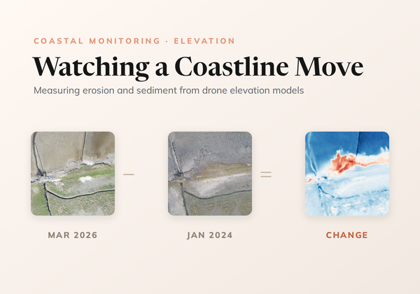
How CODAP measures erosion and sedimentation on the Wadden Sea coast by differencing drone elevation models, cleaning out the noise without losing real change, and reading the result with transects.